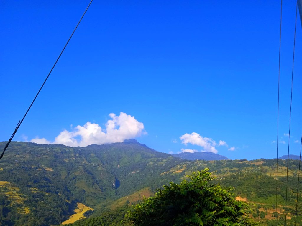
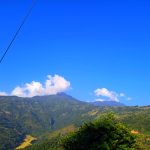
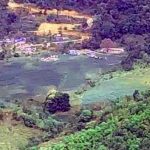
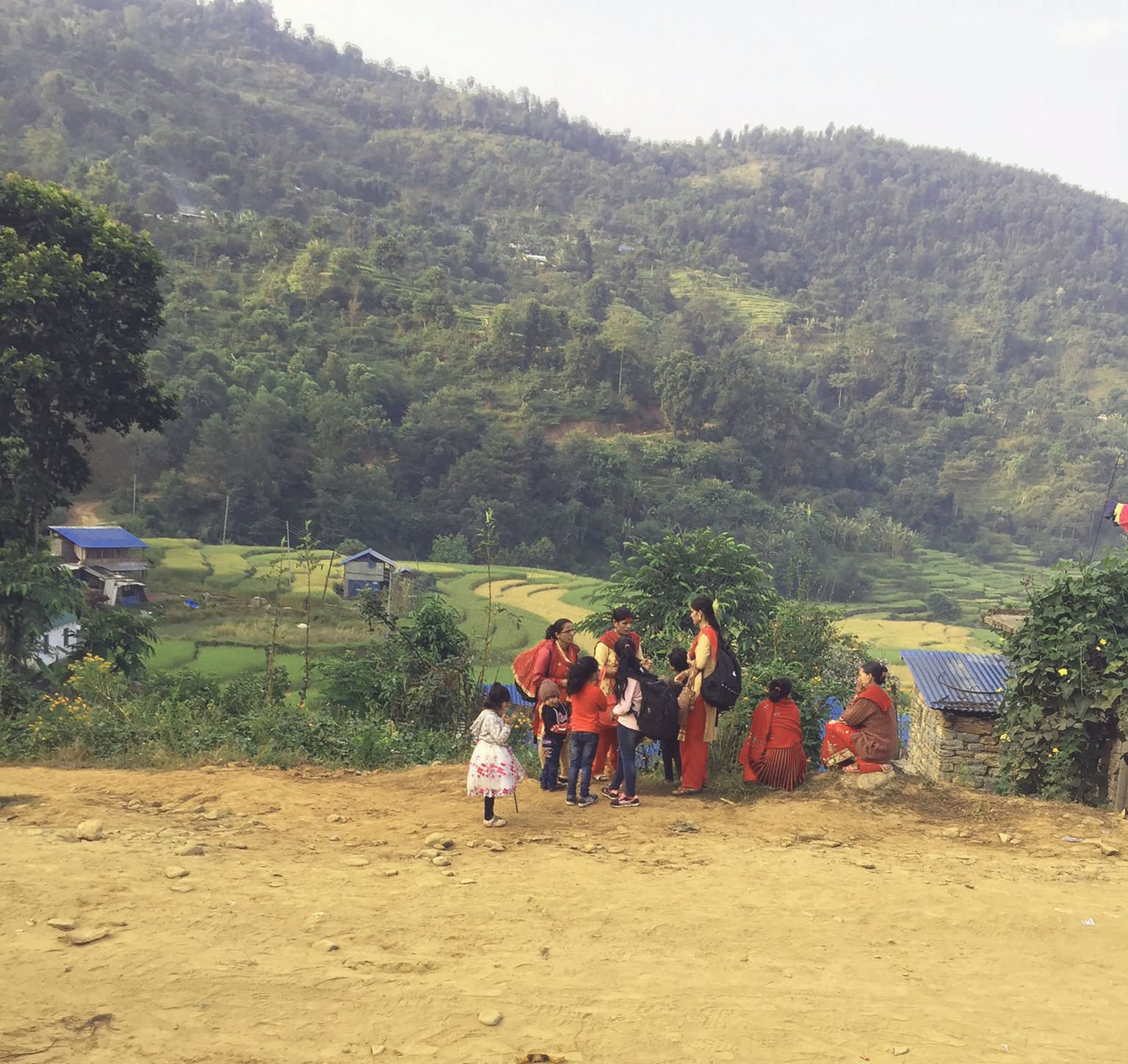
Saurpani, previously known as Saurpani Village Panchayat, is a large village located in the mid-hills of Nepal. The village falls under the Barpak Sulikot Rural Municipality of Gaupalika, after the implementation of the new constitution. The area is also known as Ghunchok, and it extends from Daraudi in the west to Hundi Khola in the east, with Taku in the southern border and Barpak in the northern border.Saurpani has a rich biological diversity, ranging from the mid-hills to the northern Himalayan region. The village includes Saurpani, Amdanda, Gyazi village, Newar village, Banithan, and Rithabot villages. The topography of the village is vast, ranging from around 200 meters above sea level to well above 3000 meters. The climate in the area varies from warm to cool to cold. The village has thousands of species of plants and hundreds of species of animals.
The temperature in Saurpani varies according to the topography. The lowlands can be sizzling hot, while the mountain tops experience snow during winter. The village has several sub-villages, such as Ghunchoktar, Kalibote, Tarigaon, Bhuwane, Archale, Simthali, Gauthali, Ghunchok, Jedada, Gairi Gau, and Saurpani in the western side. The eastern side of the village includes villages like Pokhari Gau, Gyaji, Arubote, and extends all the way to Ranchok Kenwara.
Agriculture is the primary source of livelihood for most people in Saurpani, with traditional crops like paddy, corn, millet, wheat, barley, and potatoes being the main produce. Some farmers have started cultivating cash crops. Many locals have also reared goats and cattle. However, due to the lack of employment opportunities, many young men and women have migrated to cities or even abroad to countries like Saudi Arabia, Kuwait, Malaysia, Australia, Japan, America, and Britain. Investing in productive sectors like agriculture, trade, and industries with the knowledge, skills, experience, and capital acquired from foreign employment could lead to the economic prosperity of the village.